| Home > All By Location regional map > Pittsbugh East > Parkway East Int - Blvd of Allies & Forbes Av | |||
|
|
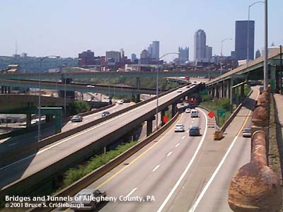
View west from Blvd of the Allies 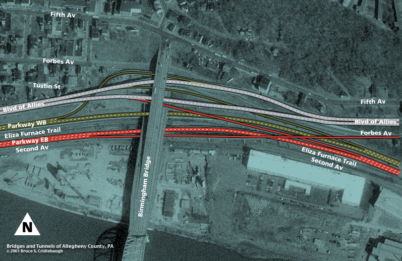
Aerial photo map Main information page Photo page 1 Photo page 2 Photo page 3 Photo page 4 > > Historical images 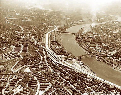
PA Dept of Highways photo, c1958 Submit info or inquiry - share some facts or ask a question. Introduction -- Nearby Structures Page created: Last modified: 10-May-2001 |
View Larger Map 
| |
| copyright: © Bruce S. Cridlebaugh 1999-2008 All Rights Reserved | |||