|
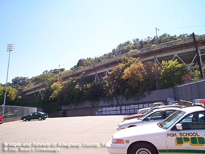
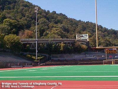
Viaduct Number 1 rises over commerical buildings and South Senior High football stadium
|
|
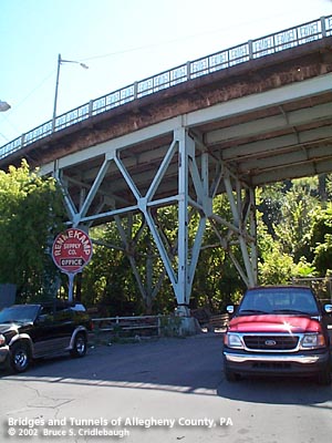
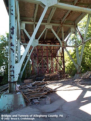
Viaduct Number 1: trussed bents carry a series of simple and continuous spans;
View east from South Seventh St shows temporary reinforcements;
View west from South Seventh St;
Underside of girder span over South Seventh St
|

|
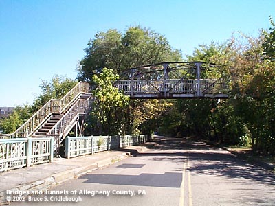
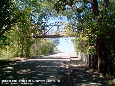
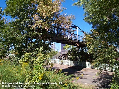
Camelback Pratt truss [closed] carried pedestrians over the eastern end of the Roadway near Selby Wy
|
|
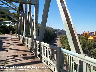
Viaduct Number 1: View west from near South Ninth St;
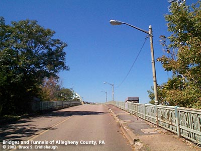
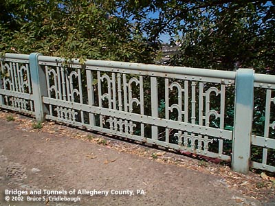
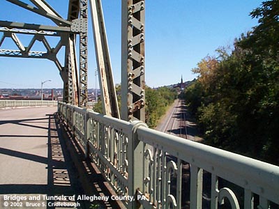
Ornamental railing;
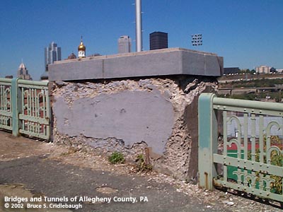
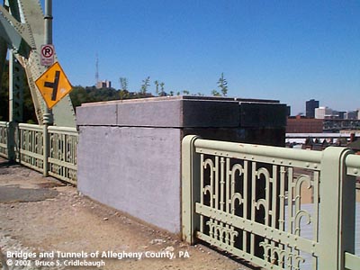
Deteriorating concrete pier;
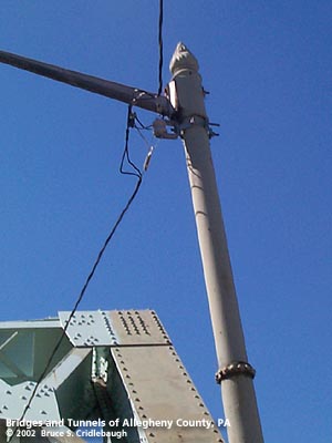
Flame ornament atop light pole
|

|
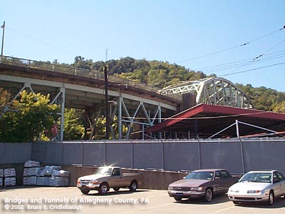
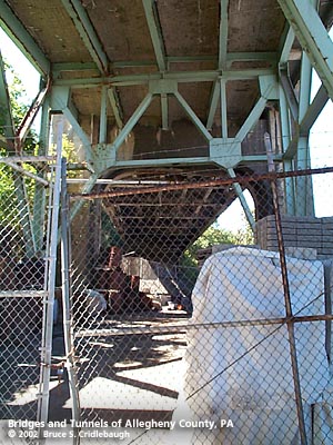
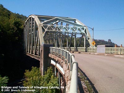
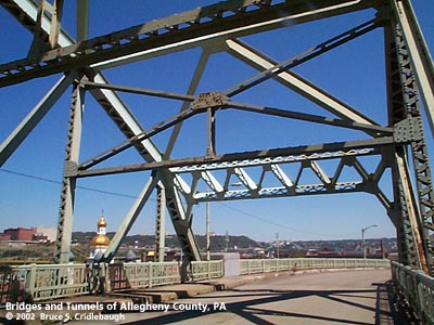
Viaduct Number 1: View west of through truss and curve;
View west of truss from railroad;
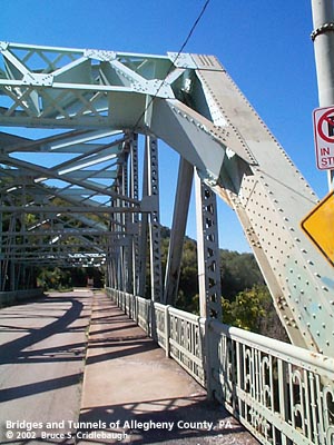
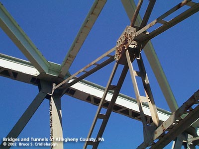
Detail of riveted truss members;
Concrete pier supports eastern end of truss
|
|
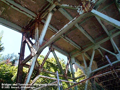
Viaduct Number 1: Truss detail;
View northwest toward St. John's church;
View west along railroad;
View east along railroad
|
|
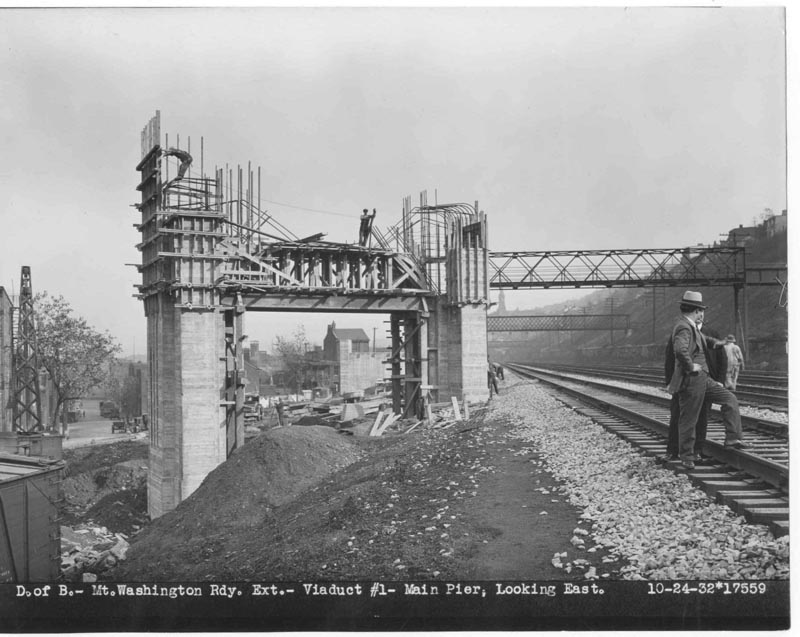
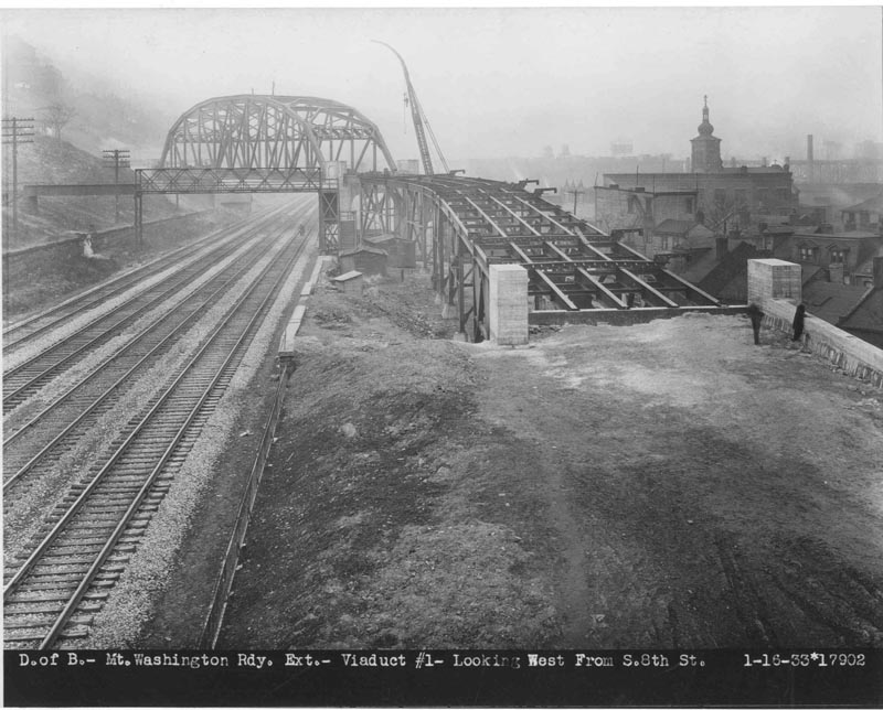
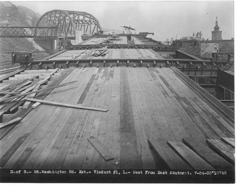
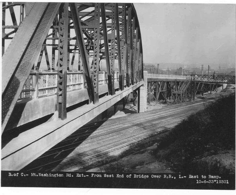
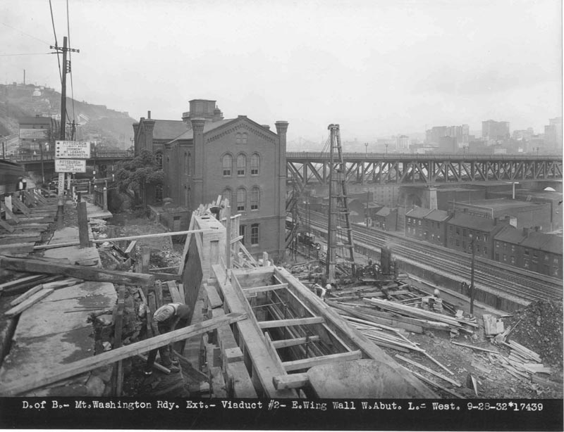
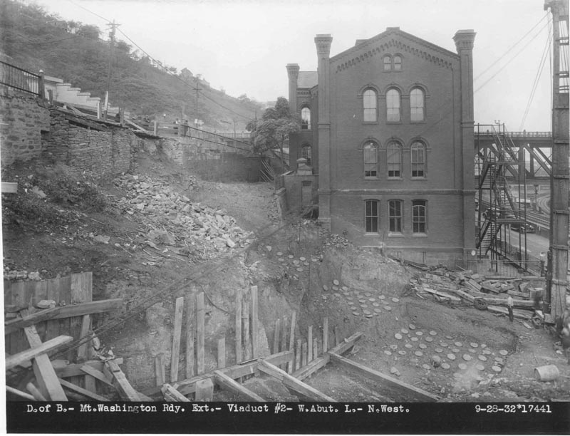
Viaduct Number 1: Construction photos
|
|
Viaduct Number 1: View east toward intersection at Windom St;
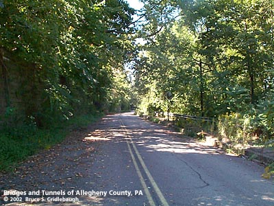
Roadway between viaducts;
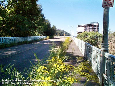
Roadway approaching Viaduct Number 2 from east
|
|
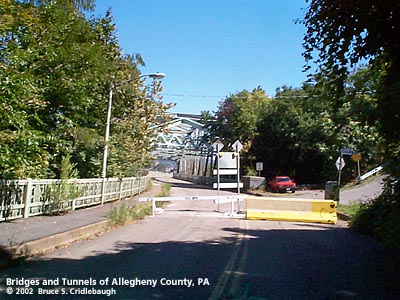
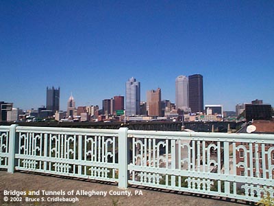
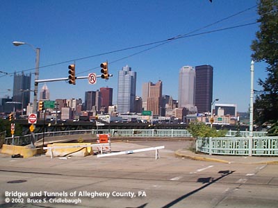
Viaduct Number 2: view of downtown Pittsburgh skyline;
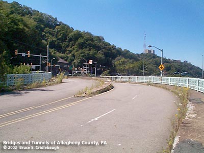
Two views west of Roadway curving to meet Arlington Av;
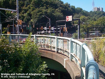
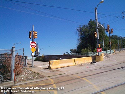
View east toward barricaded Roadway from Arlington Av
|
|
Viaduct Number 2: construction photos;
Knox Public School -- Brownsville Rd at Manor St -- Liberty Bridge beyond
|
|
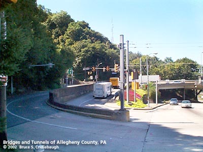
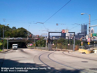
Panning from west to north at intersection of Roadway and Arlington Av:
McArdle Roadway curves to connect Arlington Av to Liberty Bridge;
Arlington Av descends to Carson St -- "T" light rail curves toward Panhandle Bridge;
Lower McArdle Roadway meets Arlington Av with skyline beyond to north
|
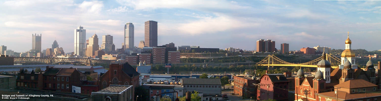 Panoramic view north from Viaduct Number 1